Drone Technology vs Alternatives: Complete Comparison
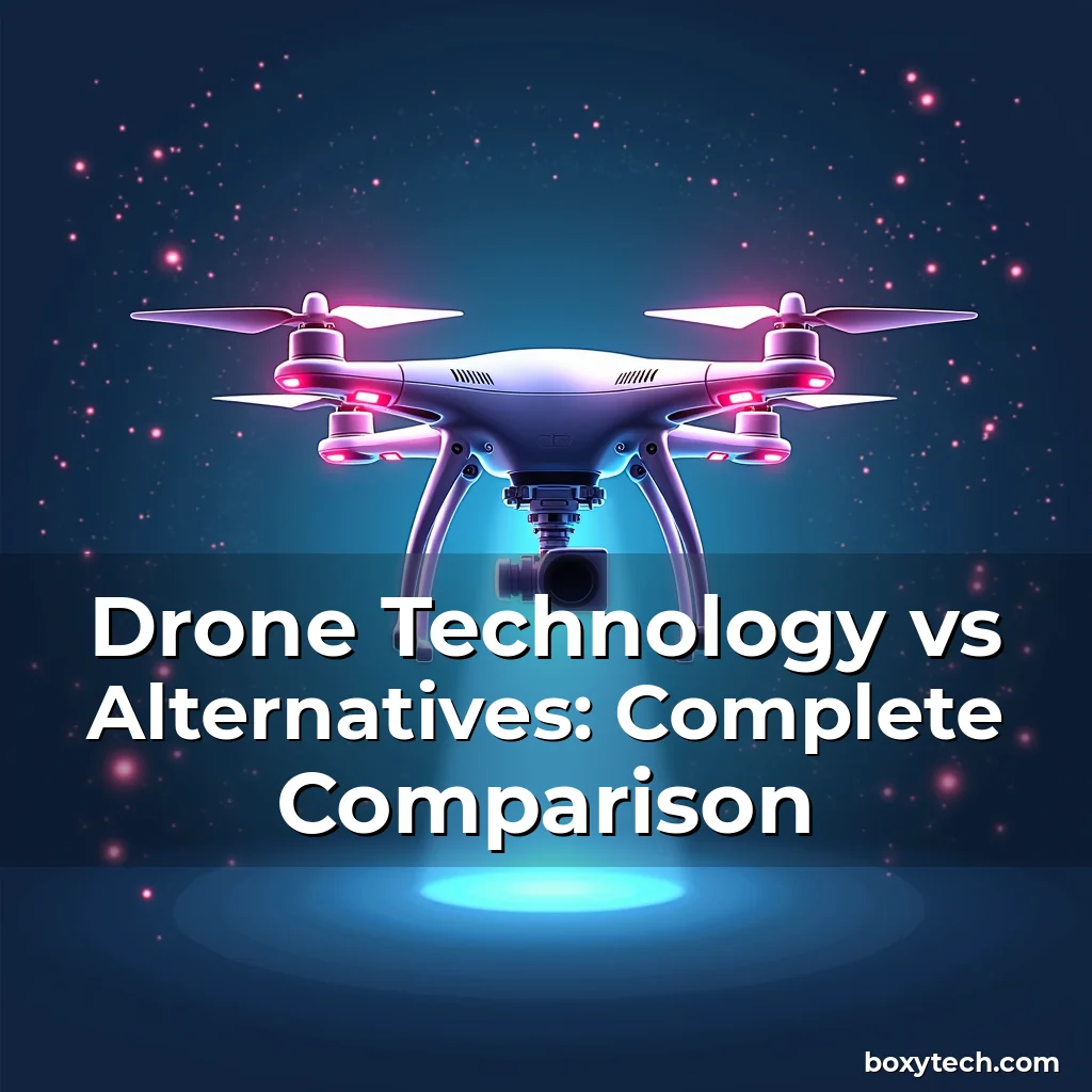
Drone Technology vs Alternatives: Complete Comparison
In an era where aerial imaging and data collection have become integral to industries ranging from agriculture to infrastructure inspection, drone technology has emerged as a game-changer. The ability to capture high-resolution images, conduct real-time monitoring, and perform complex tasks in hard-to-reach areas is reshaping how businesses operate.
The debate between drones and traditional alternatives often centers around cost-efficiency, precision, scalability, and operational flexibility. Understanding these factors can help decision-makers determine when to adopt drone solutions versus conventional methods such as manned aircraft, satellite imagery, or ground-based systems.
The Evolution of Drone Technology
From their military origins in the mid-20th century to today’s consumer-grade devices, drones have undergone significant advancements. Early models were limited by battery life, range, and payload capacity but lacked the sophistication required for commercial applications.
Modern drones now feature advanced sensors, AI-powered navigation systems, and long-range capabilities that enable them to perform beyond simple surveillance roles. These improvements are driven by breakthroughs in materials science, miniaturized electronics, and machine learning algorithms.
The integration of GPS, obstacle avoidance, and autonomous flight modes marks a pivotal shift in drone functionality. This evolution allows users to deploy drones for mapping, delivery services, and even emergency response scenarios without requiring constant manual oversight.
- Battery Efficiency: Lithium-polymer batteries offer extended flight times compared to older nickel-cadmium designs, enabling longer missions before recharging.
- Sensor Capabilities: High-resolution cameras, thermal imaging modules, and LiDAR systems allow for diverse data acquisition tailored to specific industry needs.
- Autonomous Navigation: Machine learning enables drones to map environments dynamically while avoiding obstacles through real-time processing of visual and sensor data.
The future promises further innovations such as swarm intelligence, which could revolutionize logistics by allowing coordinated operations among multiple drones simultaneously executing complex tasks.
Drones vs Manned Aircraft
Manned aircraft remain a staple in sectors like aviation, defense, and large-scale surveying. However, they come with inherent limitations including higher operating costs, safety risks, and logistical complexities associated with pilot training and maintenance.
Drones provide a compelling alternative by eliminating the need for human pilots. Their smaller size and lighter weight also mean lower fuel consumption and reduced environmental impact during operation.
A key advantage lies in accessibility—drones can be deployed quickly at a fraction of the cost involved with preparing a manned aircraft for takeoff. This makes them ideal for time-sensitive operations such as disaster relief assessments or construction site inspections.
While manned planes excel in endurance and carrying heavy payloads over vast distances, drones outperform in agility and maneuverability within confined spaces. This distinction becomes particularly relevant in urban settings where airspace congestion poses challenges for larger aircraft.
Regulatory frameworks differ significantly between both platforms; obtaining clearance for drone flights generally requires less bureaucracy than coordinating air traffic control permissions for manned missions.
Despite these advantages, certain specialized functions still necessitate manned aircraft—for instance, deep-sea rescue operations or atmospheric research requiring direct human intervention under extreme conditions.
Drones in Agriculture: A Game-Changing Tool
Farming practices worldwide are being transformed by drone technology, offering unprecedented levels of efficiency and accuracy. Traditional agricultural methods rely heavily on manual labor and fixed-wing aircraft for crop monitoring—an approach that proves inefficient for large farms with varying topographies.
Drones equipped with multispectral and hyperspectral sensors enable farmers to analyze plant health, soil moisture levels, and pest infestations with remarkable precision. By capturing detailed images across different wavelengths, they detect issues invisible to the naked eye, facilitating timely interventions.
Data collected via drones can integrate seamlessly with farm management software, providing actionable insights for optimizing irrigation schedules, fertilization rates, and pesticide application strategies. This level of customization was previously unattainable using standard remote sensing techniques.
The use of drones reduces reliance on chemical inputs by identifying only those areas needing treatment rather than blanket spraying entire fields. Such targeted approaches contribute positively towards sustainable farming practices and reducing environmental pollution.
Crop yield predictions based on historical drone data combined with weather forecasts allow producers to make informed decisions regarding planting cycles and harvest timing. This predictive capability enhances overall productivity and minimizes losses due to adverse climatic events.
Additionally, drones assist in livestock monitoring by tracking animal movements and detecting signs of illness early through behavioral patterns captured via thermal imaging technologies.
Comparative Analysis: Drones vs Satellite Imagery
Satellite imagery provides broad coverage suitable for macro-level analysis but suffers from resolution constraints and temporal delays between image captures. In contrast, drones offer localized, high-resolution imaging with near-instantaneous updates crucial for dynamic situations.
The spatial resolution achievable by modern drones far exceeds what satellites typically deliver, making them superior choices for detailed terrain modeling or structural damage assessment post-disasters. For example, drones can identify individual trees damaged during storms whereas satellites might only show general deforestation trends.
Cost structures also vary considerably between these two options. While launching and maintaining satellite constellations involves massive capital investment, deploying drones represents a much more affordable solution especially for periodic surveys covering relatively small geographic areas.
However, there exists a trade-off regarding frequency of data acquisition—the continuous orbit of satellites ensures regular revisits regardless of cloud cover or local conditions unlike terrestrial platforms dependent upon favorable weather windows.
This difference underscores why hybrid systems combining satellite feeds with drone deployments may represent optimal strategies depending upon project requirements spanning multiple scales—from regional land-use studies down to microsite evaluations.
Moreover, privacy concerns arise differently with each method. Satellites inherently lack targeting capabilities unless deliberately pointed toward specific locations, whereas drones flying low over private properties pose potential legal complications related to trespassing laws.
Economic Implications: Cost-Benefit Considerations
Evaluating economic viability requires careful consideration of upfront investments versus long-term savings generated through increased productivity gains achieved by adopting drone technologies. Initial equipment purchases alongside necessary certifications form part of initial expenditures.
Ongoing expenses encompass routine maintenance checks, spare parts replacements, and software subscription fees tied to data analytics tools used for interpreting collected information effectively. These recurring charges must factor prominently into total lifecycle cost calculations.
Operational efficiencies realized through automation reduce dependency on skilled personnel who would otherwise handle similar tasks manually thereby lowering workforce-related overheads substantially. Time saved translates directly into monetary benefits realized faster turnover rates across various business domains.
Insurance premiums associated with insuring valuable assets against accidental damages caused either by mechanical failure or operator error present another financial aspect warranting attention when comparing different asset classes under evaluation.
Lastly, regulatory compliance imposes additional financial burdens mandating adherence to evolving standards governing safe usage parameters including altitude restrictions, no-fly zones proximity rules etc., thus influencing deployment strategies accordingly.
Ultimately, although capital intensive initially, many organizations find ROI improves progressively once workflows get optimized leveraging full potential offered by integrating unmanned aerial vehicles into existing infrastructures strategically planned ahead.
Environmental Impact Assessment
As global awareness increases concerning climate change implications linked to industrial activities, evaluating ecological footprints assumes greater importance when selecting appropriate technological tools. Both drones and their conventional counterparts leave distinct carbon imprints according to respective energy sources powering them.
Electric powered quadcopters produce zero tailpipe emissions during flight unlike combustion engines found aboard helicopters or propeller-driven planes contributing significantly towards greenhouse gas accumulation affecting planetary temperatures adversely.
Nevertheless, production phases involving manufacturing processes utilizing raw materials plus transportation networks transporting finished products contribute non-negligible amounts towards CO₂ output figures despite cleaner runtime performance characteristics exhibited subsequently.
Comparisons reveal considerable variations depending upon scale considered—if examining single unit lifecycles versus fleet-wide impacts across thousands of units operating continuously globally then cumulative effects matter greatly irrespective of marginal differences observed individually.
Recycling initiatives aimed at repurposing retired components extend sustainability efforts further though recycling infrastructure remains unevenly developed regionally posing implementation challenges preventing universal adoption currently.
Therefore while electric propulsion definitely constitutes greener option relative to fossil fueled equivalents nonetheless holistic analyses accounting entire product lifecycle stages prove essential prior finalizing any environmentally conscious purchasing decisions impacting future generations’ wellbeing.
Risk Management Strategies in Drone Operations
Implementing robust risk mitigation protocols forms critical component ensuring successful execution projects relying heavily upon unmanned aerial vehicle utilization. Potential hazards stem primarily from technical malfunctions coupled occasionally unpredictable external variables disrupting normal functioning sequences unexpectedly.
Vulnerability assessments must address hardware reliability aspects including battery degradation timelines estimating service life expectancy accurately preemptively replacing worn-out cells before complete system failures occur suddenly causing mission aborts midway through critical phases.
Piloting errors constitute another source uncertainty potentially leading disastrous outcomes particularly novice operators unfamiliar intricacies managing sophisticated autopilot features correctly navigating complex landscapes safely without incidents happening regularly.
To counteract these threats adequately, comprehensive pre-flight checklists serve indispensable role verifying all subsystems readiness status thoroughly ensuring nothing overlooked possibly jeopardizing whole operation irreversibly once airborne.
Emergency contingency plans establish clear procedures responding swiftly whenever unforeseen circumstances arise whether mechanical breakdowns occurring en route sudden weather changes altering flight paths unpredictably creating dangerous situations requiring immediate evasive maneuvers executed proficiently minimizing collateral harm incurred.
Furthermore, insurance policies specifically designed covering liabilities arising from property damage inflicted third parties during accidents involving rogue elements malfunctioning drones escaping control unintentionally damaging structures beneath them accidentally.
Finally, ongoing staff training programs maintain proficiency levels consistently high enough guarantee consistent quality assurance maintained throughout career trajectories preventing skill decay over prolonged periods leading eventual competency lapses manifesting later on negatively impacting organizational effectiveness adversely.
Future Trends Shaping Drone Innovation
Looking forward, several emerging technologies stand poised transforming current paradigms surrounding drone functionalities expanding horizons previously unimaginable today. One prominent area gaining traction involves development smarter artificial intelligence capable performing intricate cognitive tasks autonomously improving situational awareness dramatically enhancing decision-making capabilities substantially.
Advancements neural network architectures enable machines perceive environment holistically comprehending relationships existing amongst objects space allowing accurate interpretation context clues vital completing assigned objectives successfully achieving desired results reliably every attempt made regardless complexity encountered.
Swarm robotics introduces new dimension collaborative workforces consisting dozens hundreds individual agents working synchronously accomplishing collective goals efficiently surpassing singular entity capacities alone. Applications span everything from synchronized light displays artistic performances down precise coordination assembly line productions increasing throughput rates exponentially.
Integration augmented reality interfaces facilitates immersive experiences overlay digital representations physical surroundings assisting technicians diagnosing faults remotely guiding repair crews precisely locating faulty components expediting troubleshooting procedures considerably reducing downtime experienced traditionally.
Quantum computing breakthroughs promise exponential speedups solving optimization problems inherent drone pathfinding algorithms previously computationally expensive impractical execute within acceptable timeframe limits now becoming feasible thanks novel mathematical approaches accelerated computation speeds available freshly harnessed powers.
Last but certainly not least, bio-inspired engineering draws inspiration nature designing biomimetic constructs mimicking natural organisms’ behaviors traits translating biological principles mechanical systems resulting improved adaptability resilience facing adversarial environments typical outdoor operations routinely encounter frequently.
Conclusion
Drone technology continues to evolve rapidly, offering transformative possibilities across numerous domains from agriculture to emergency response. Its versatility and efficiency make it a formidable competitor against established alternatives like manned aircraft, satellite imagery, and ground-based systems.
As we’ve explored, drones provide unmatched advantages in terms of cost-effectiveness, scalability, and operational flexibility. However, their successful deployment hinges upon addressing regulatory hurdles, ensuring safety protocols, and investing in continual innovation to stay ahead of emerging challenges.
For professionals and enthusiasts alike, staying abreast of developments in drone tech means recognizing its potential not merely as a tool but as a catalyst for broader systemic changes shaping tomorrow’s technological landscape.
By embracing responsible usage guidelines paired strategic integrations complementary technologies, stakeholders position themselves well harnessing full spectrum opportunities afforded cutting-edge aerial solutions available today paving way exciting advancements expected shortly.
news is a contributor at BoxyTech. We are committed to providing well-researched, accurate, and valuable content to our readers.